Stamford Civic Society
  • Home
  • Who we are
    • About the Society
    • Join us
    • Renew subscription
  • What we do
    • Events >
      • Coming events
      • Past events >
        • Coronation
        • 50th anniversary 2017
    • Projects >
      • Project Update
      • The Sundial Project
      • School Projects
    • Newsletters
    • Other publications >
      • Stones of Stamford Revisited
      • Articles
      • Archives
    • Awards >
      • 2018 Awards
      • 2014 Awards
      • 2011 Awards
      • 2009 Awards
  • Stamford Heritage
    • Introduction to Stamford
    • Stamford map
    • Plaques in Stamford >
      • Harry Burton
      • Colin Dexter
      • Jack Pick
      • Nelson Dawson
      • Sir Malcolm Sargent
      • William Stukeley
      • 1922 Plaques
      • Blue plaques policy
    • Information boards
    • Shopfront Guide
    • First Conservation Area
    • St Leonard's Priory
    • Browne's Hospital >
      • Visit Browne's
      • Common room
      • Chapel
      • Staircase
      • Audit room
      • Confrator's room
      • 50 years ago
      • Brownes in pictures
    • Other sites >
      • The Bastion
      • The Conduit
      • Daniel Lambert
      • The Institution
      • The Priest's House
      • Railway Station
      • Recreation Ground
      • Stamford School Chapel
      • Stamford Houses
      • Truesdale
    • Pictures >
      • 1960s pictures
      • 1900s pictures
      • 1870s pictures
      • Georgian Transport
  • Sponsors & partners
  • Contact us

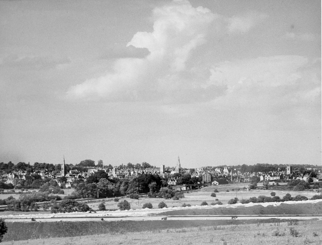
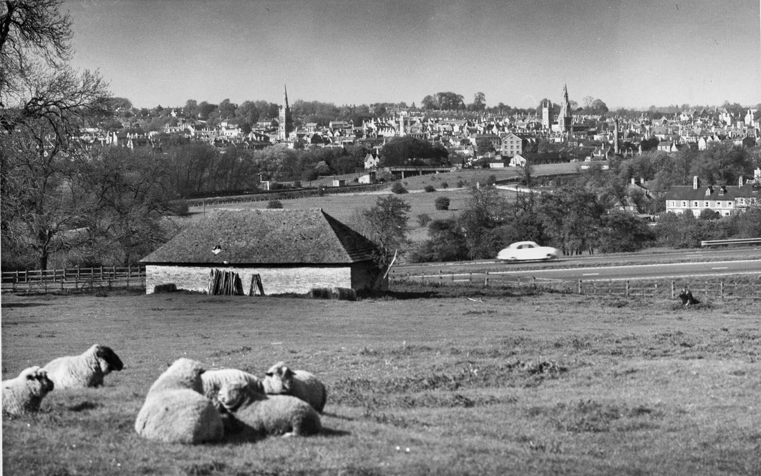
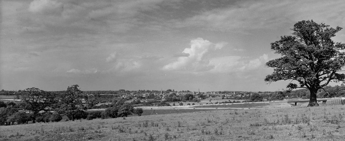
Ellis Miles pictures of Stamford from the 1960s

In late 2017, we were fortunate to receive nearly 70 photographs of Stamford taken by Ellis Miles in the late 1950s and early 1960s. The pictures have been generously supplied by Mr Geoffrey Lawrance, Ellis Miles's cousin, and scanned for this website by Dave Baxter. Mr Lawrance is the owner of the photographs and we are most grateful to him for giving permission for them to be published here.

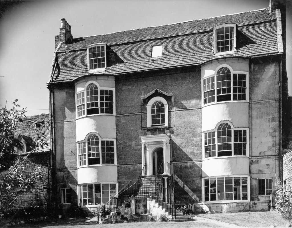
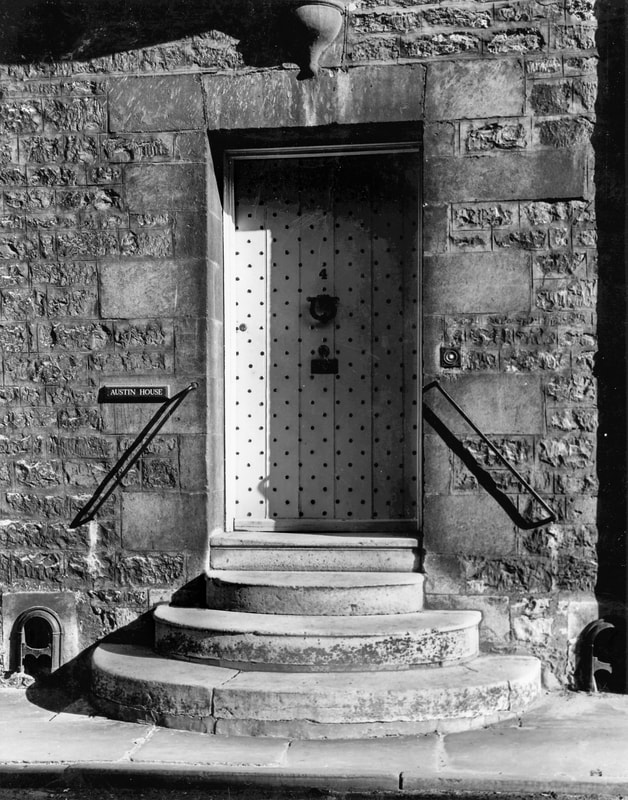
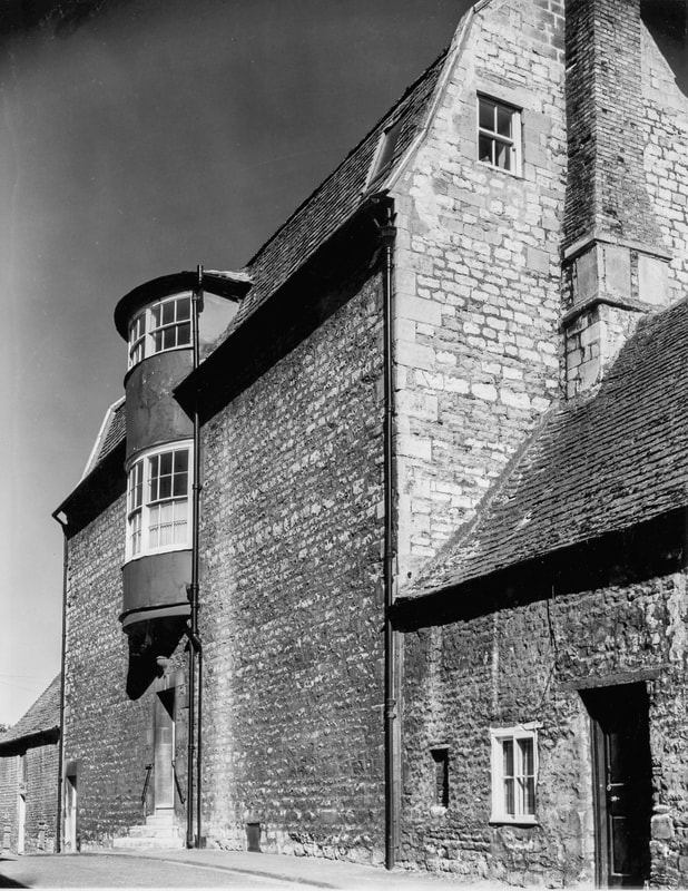
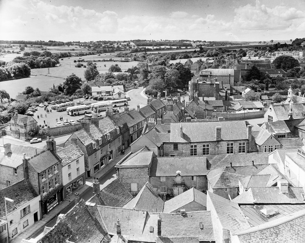
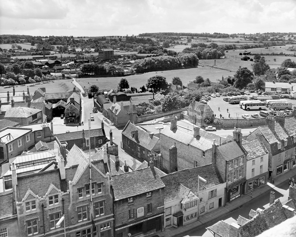
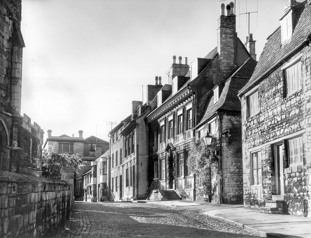
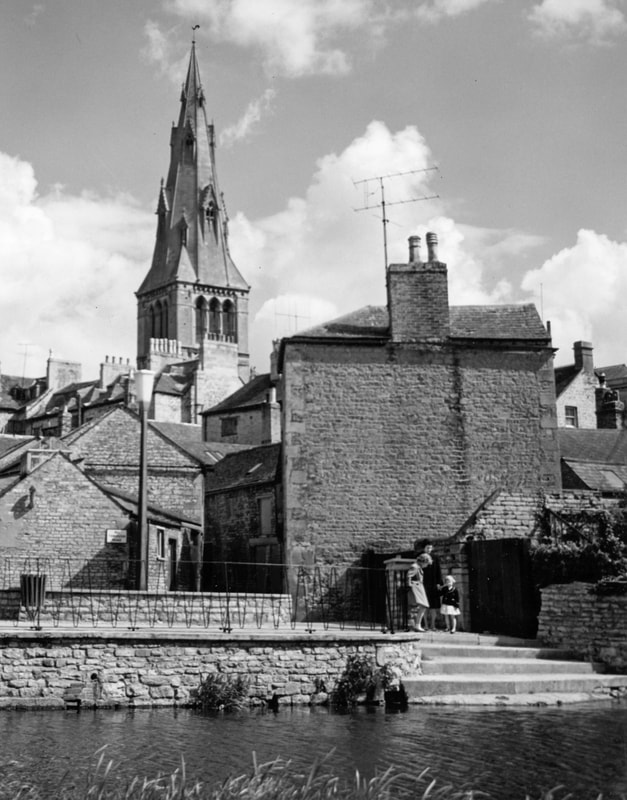
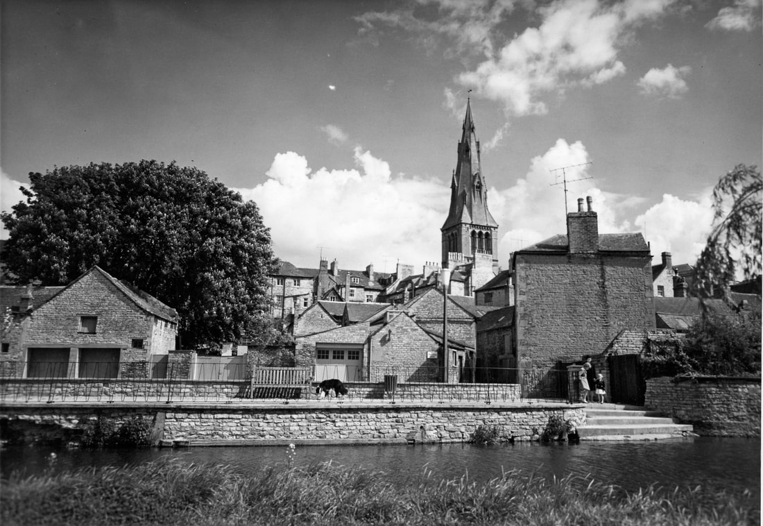
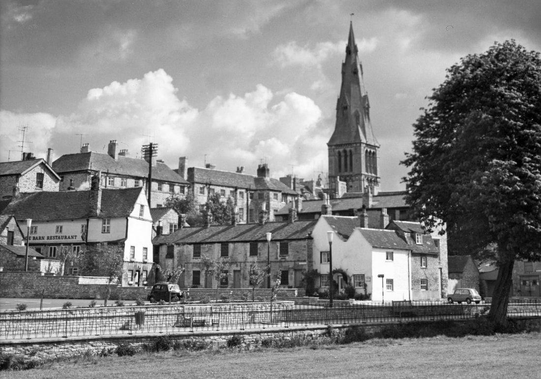
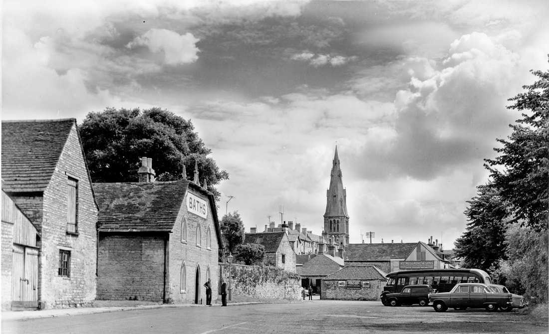
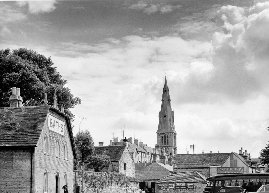
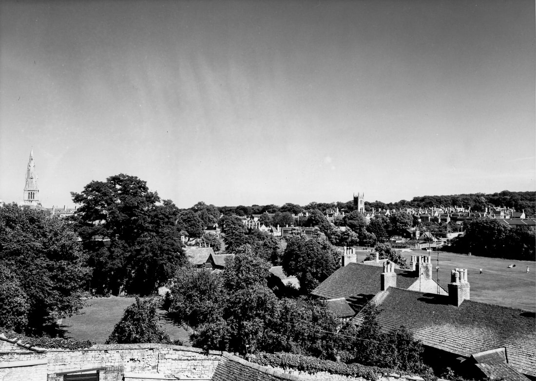
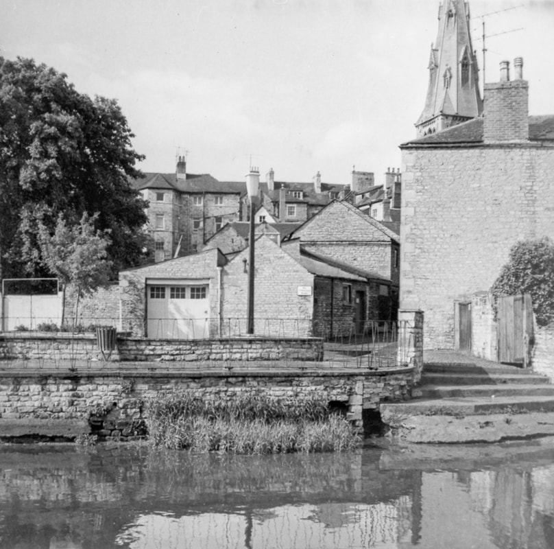
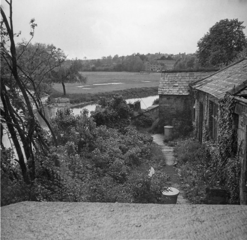
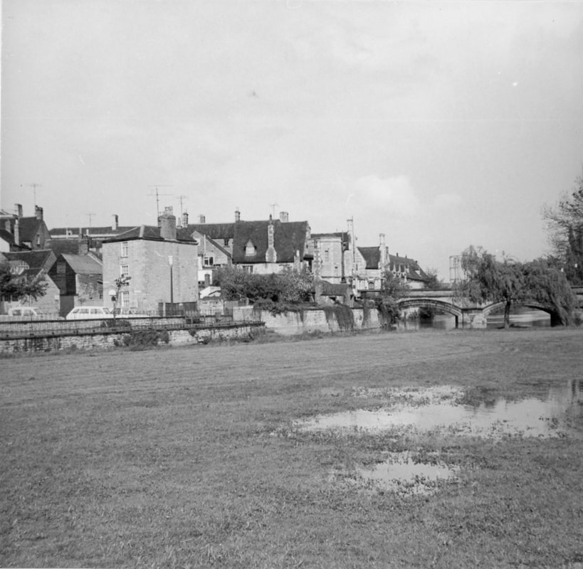
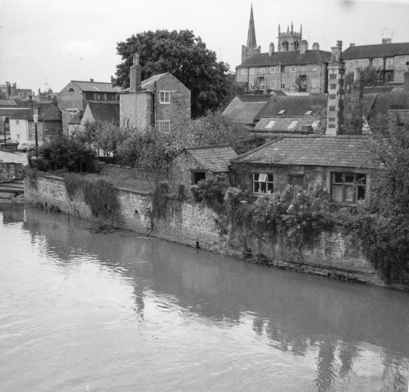
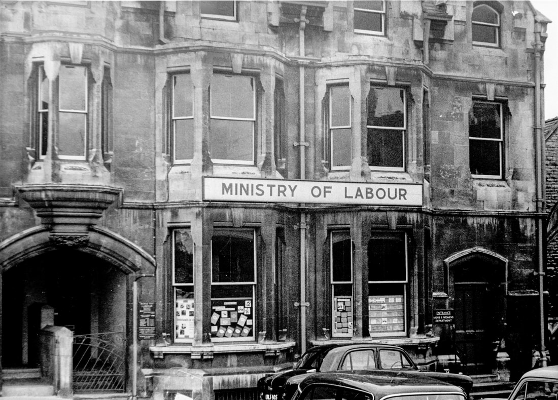
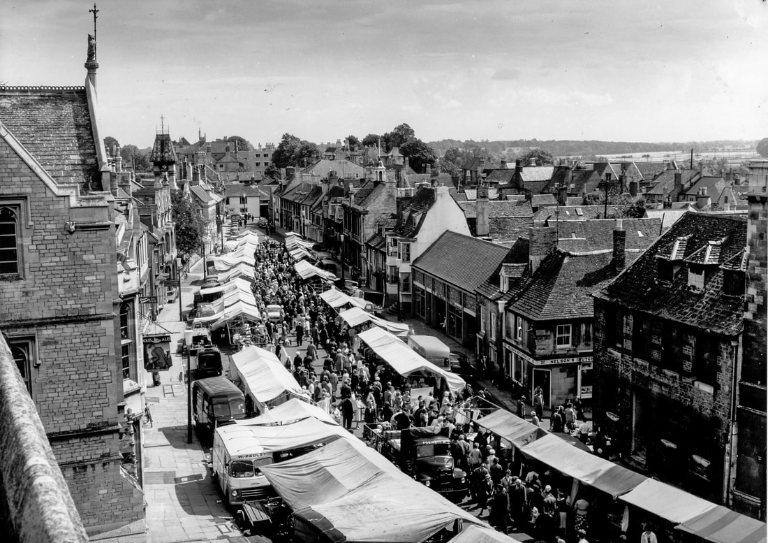
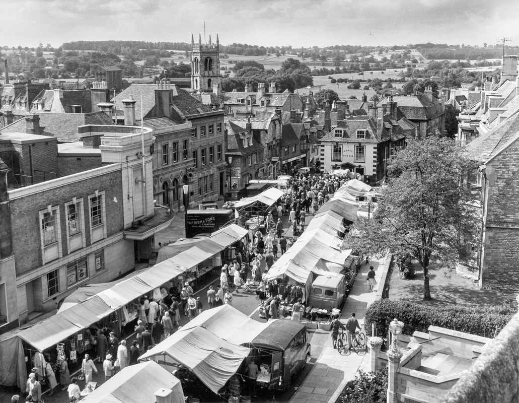
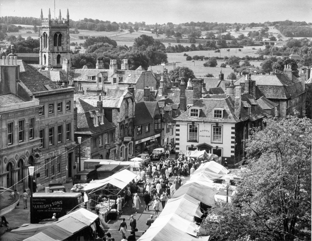
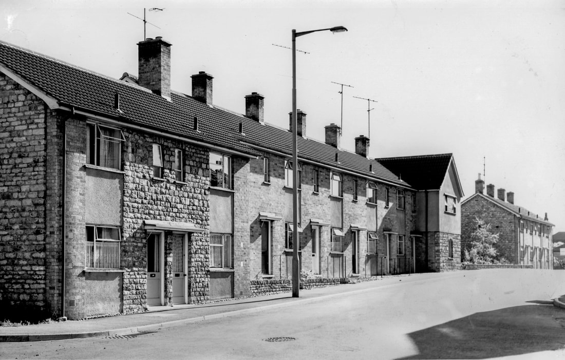
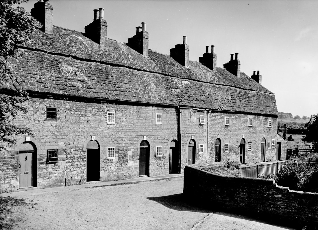
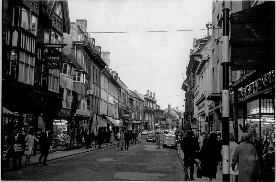
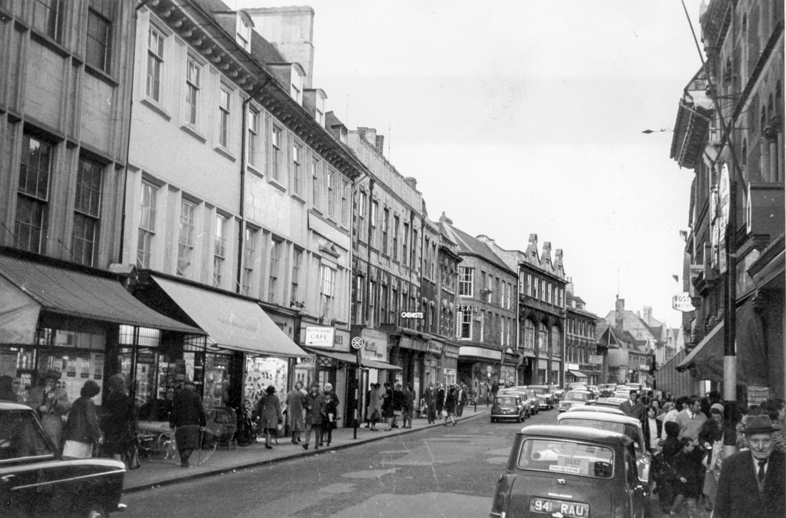
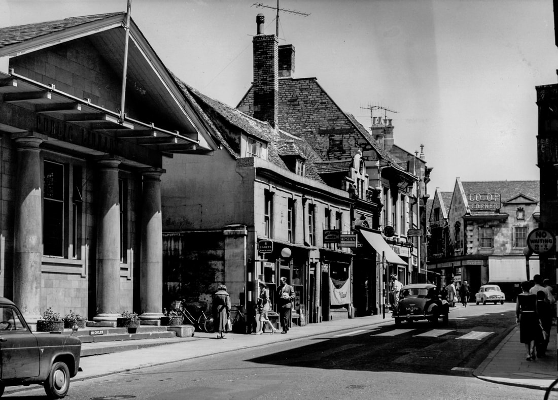
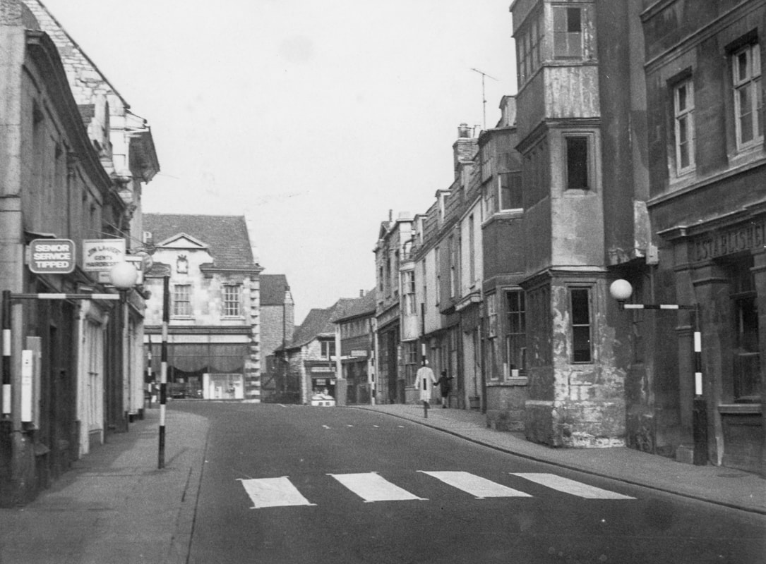
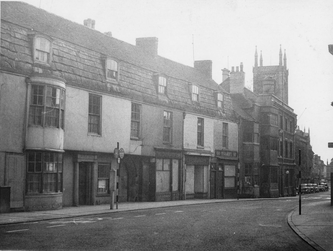
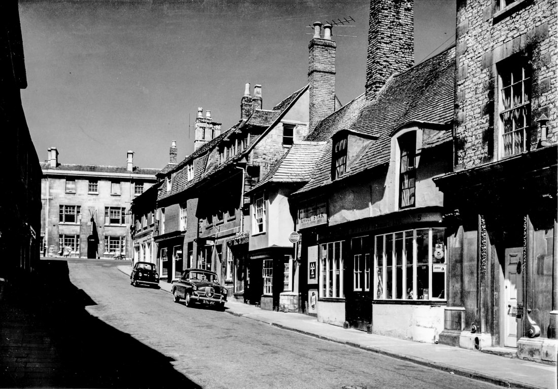
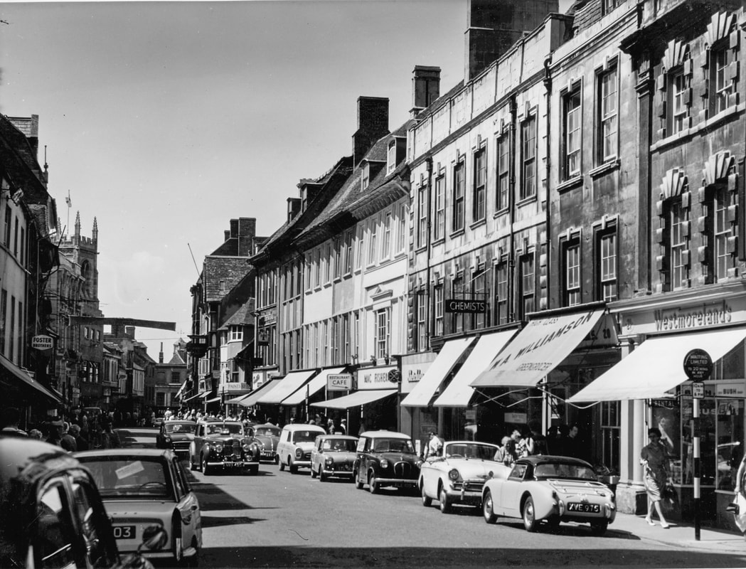
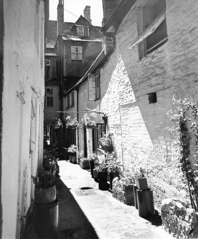
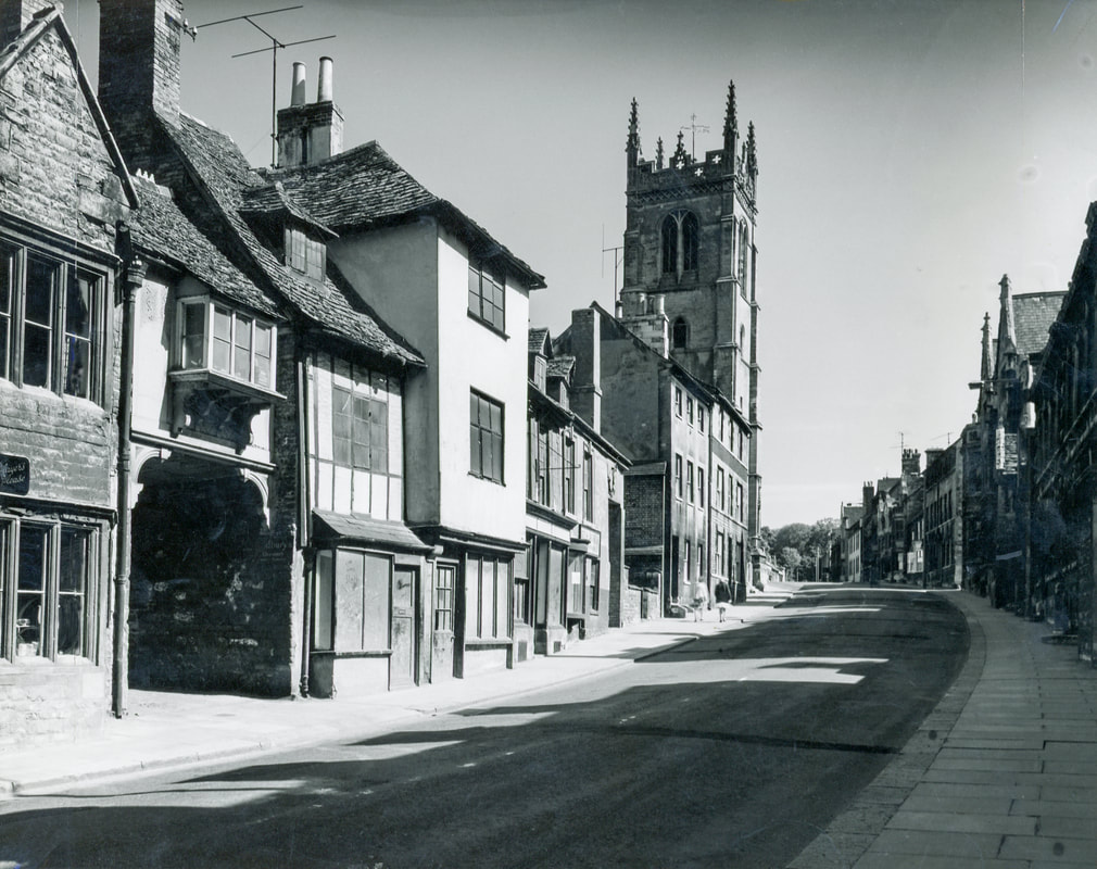
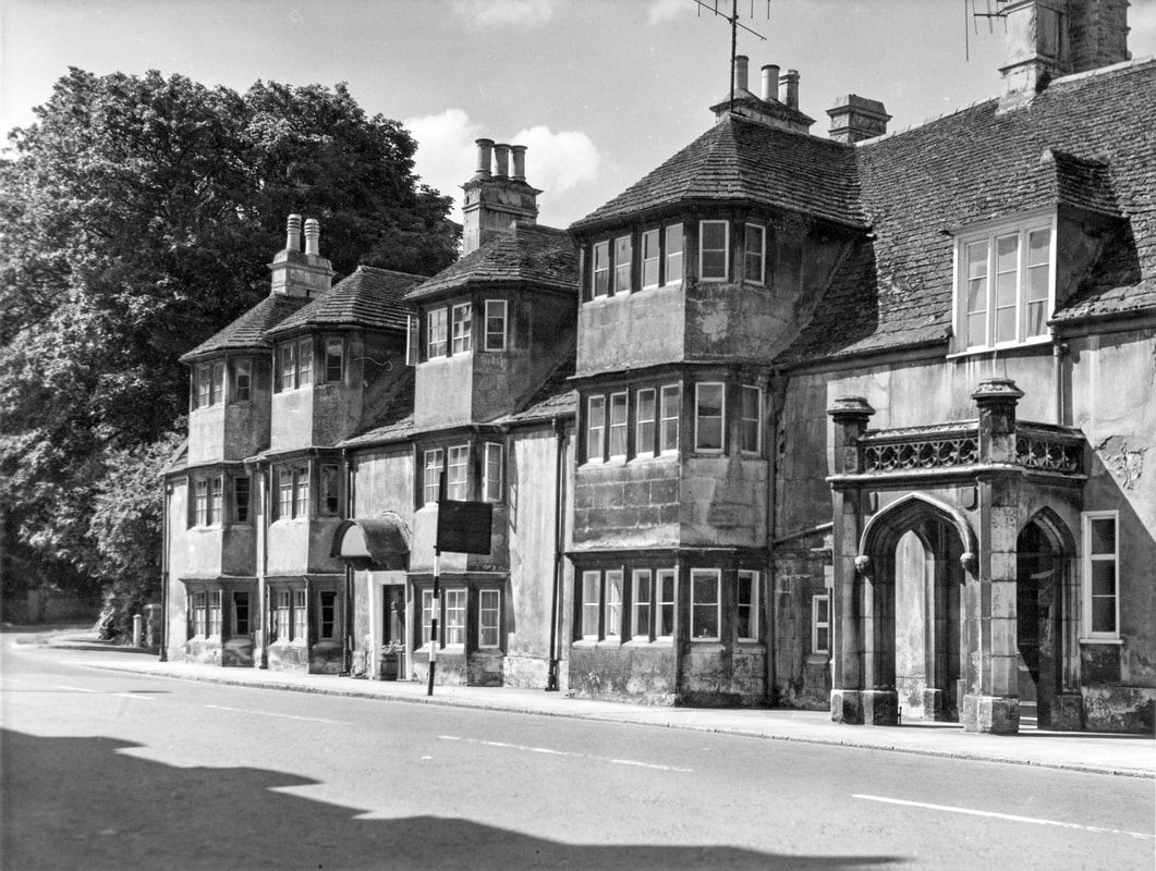
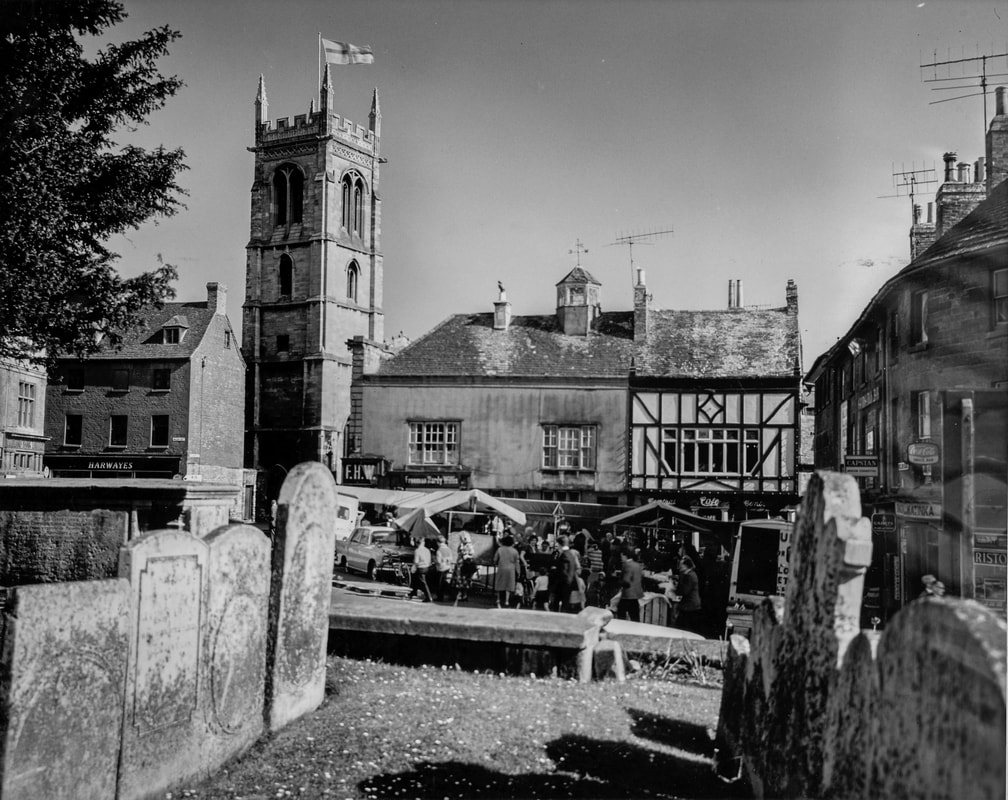
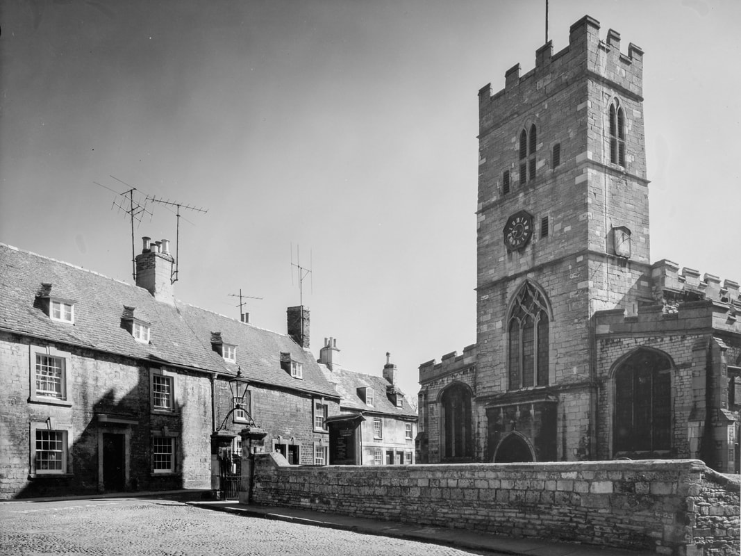
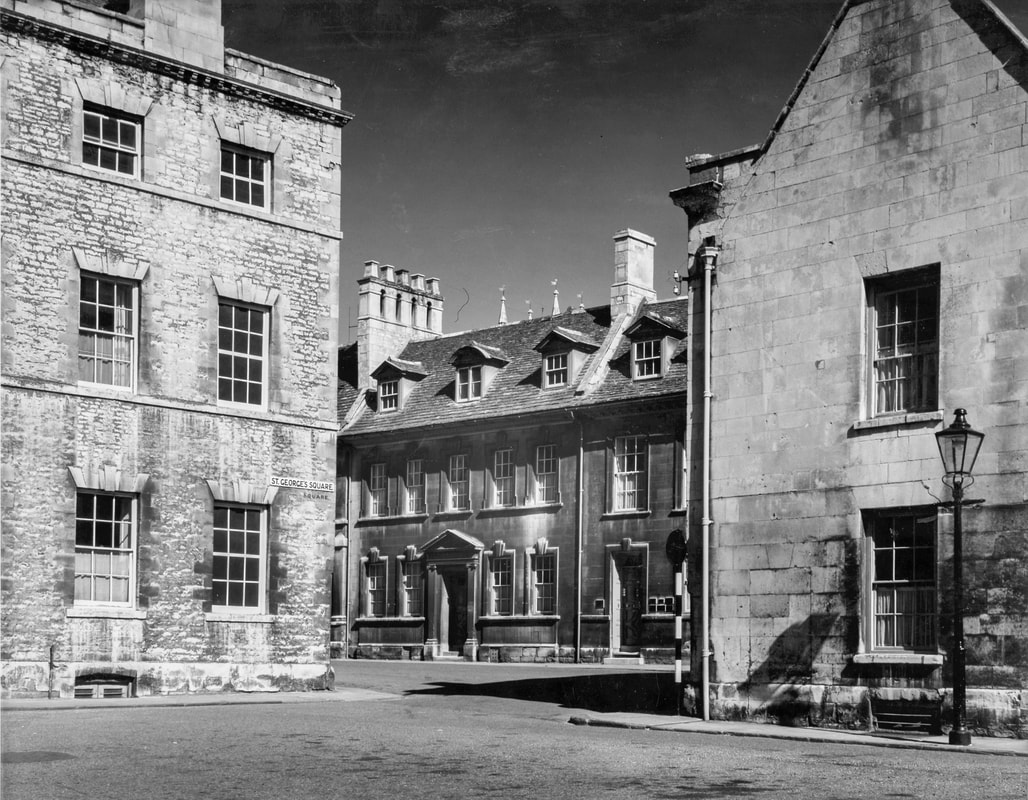
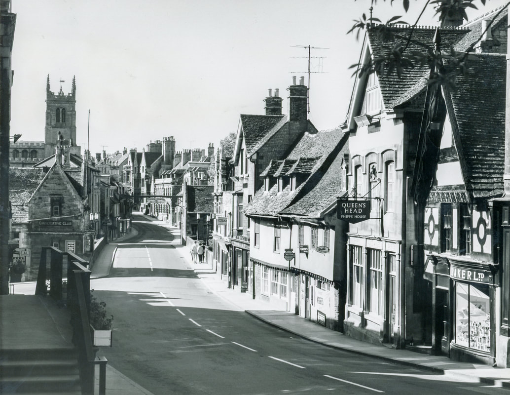
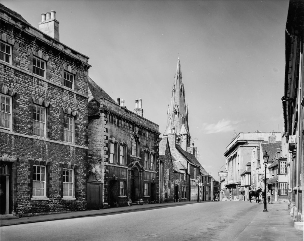
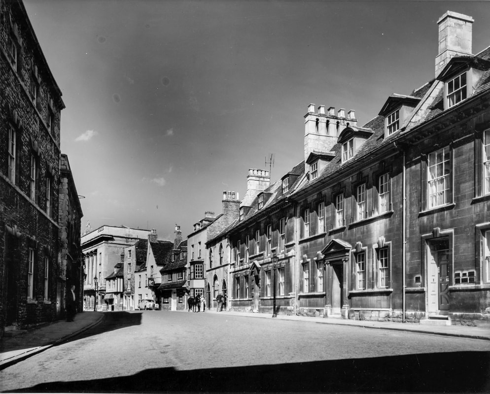
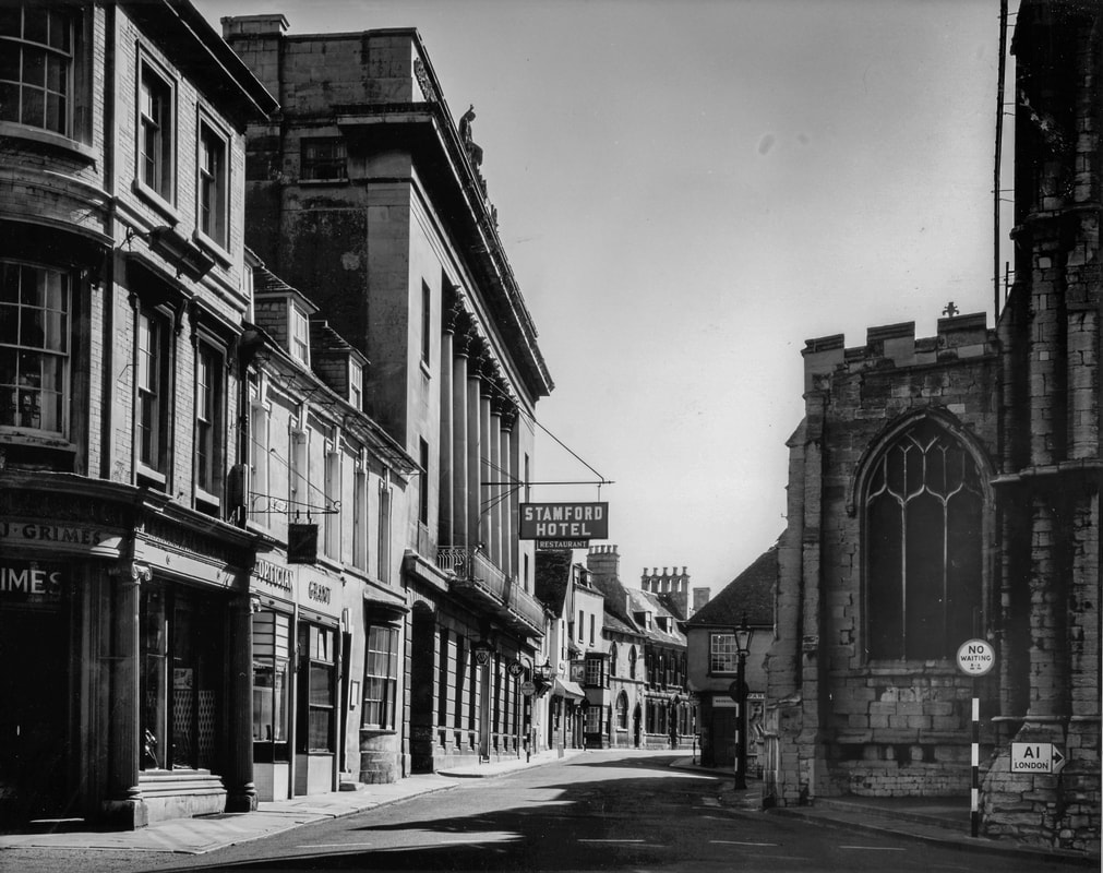
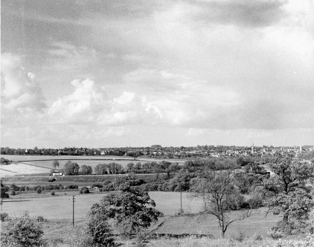
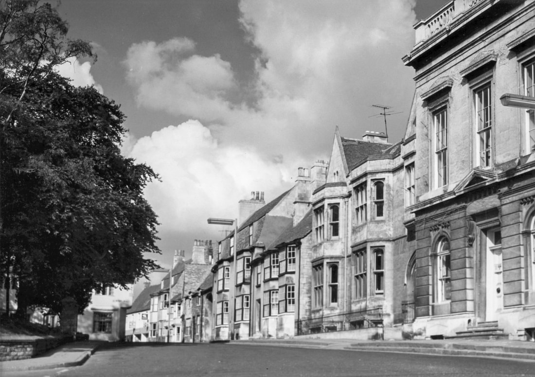
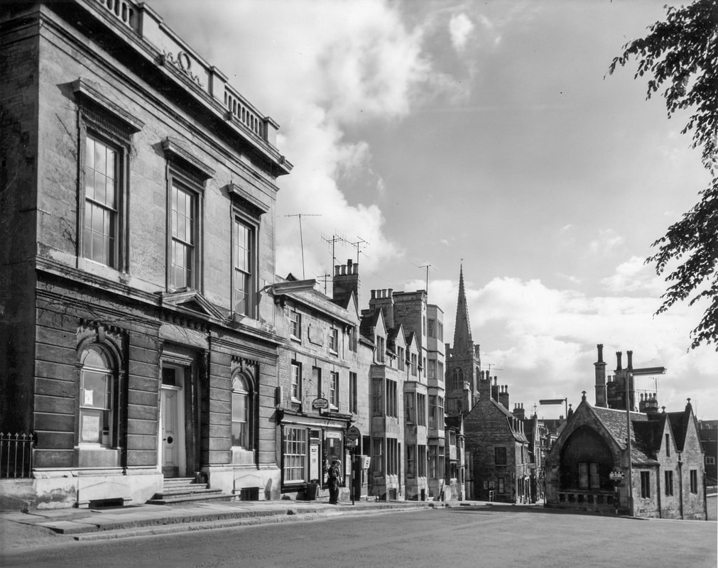
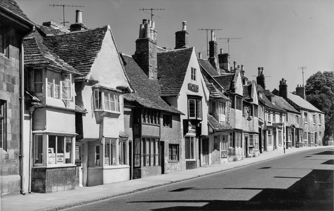
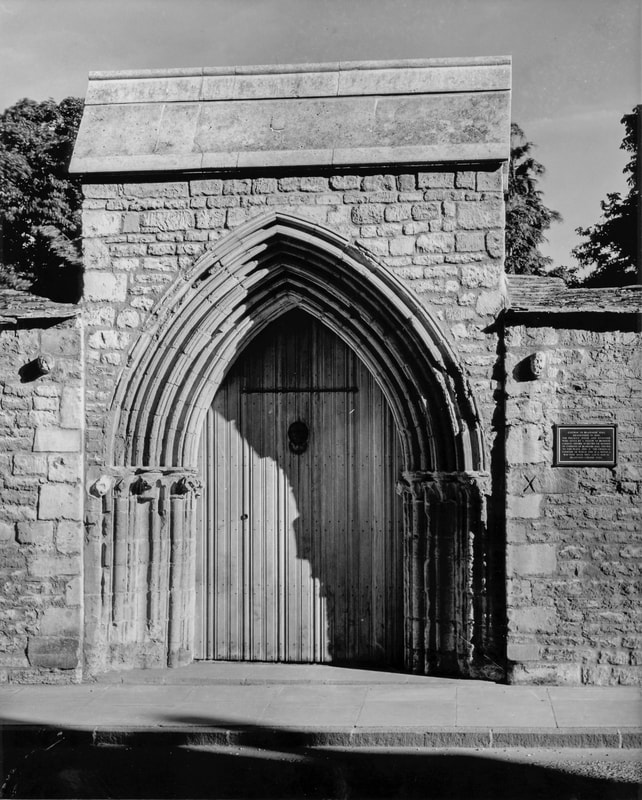
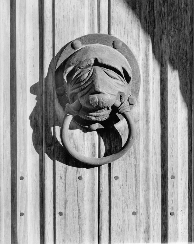
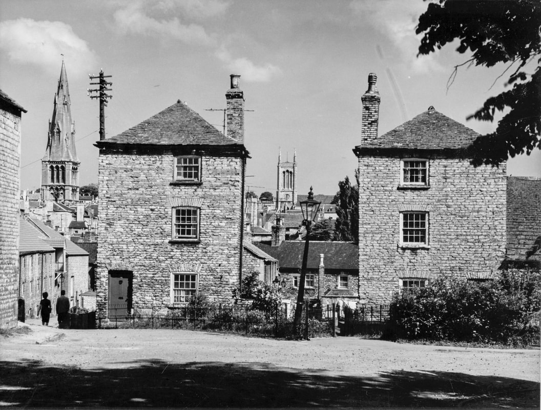
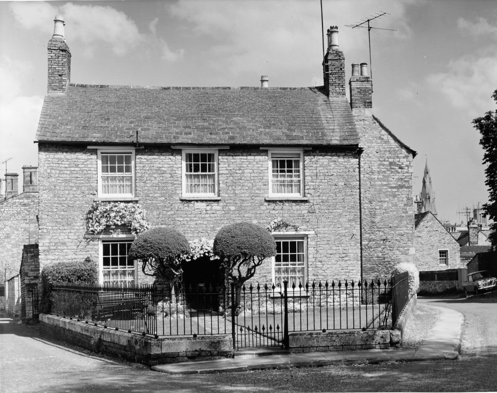
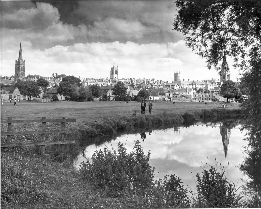
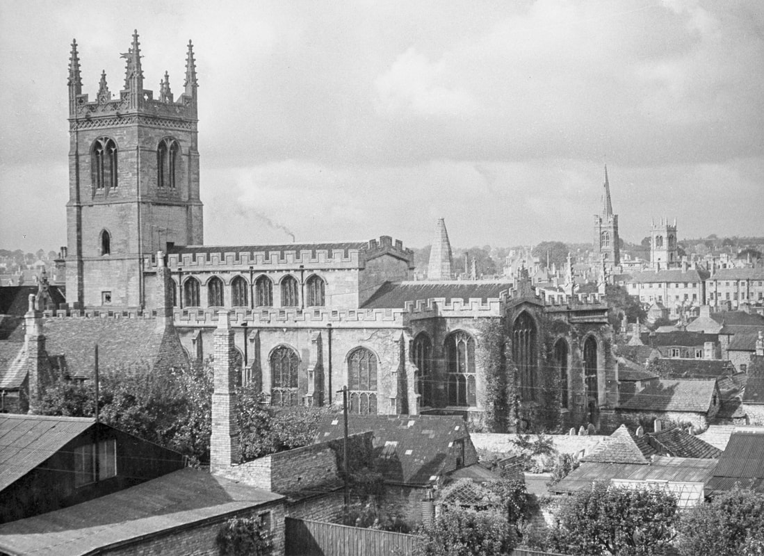
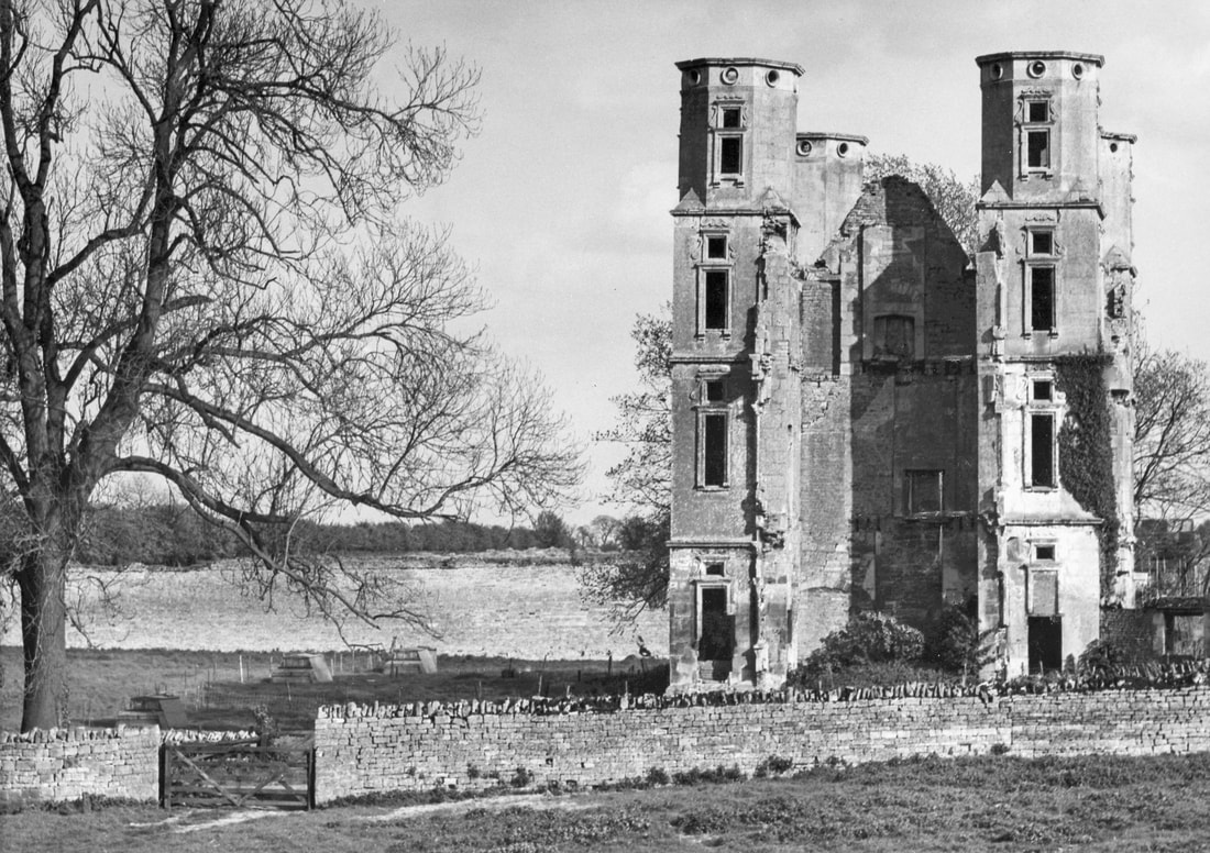
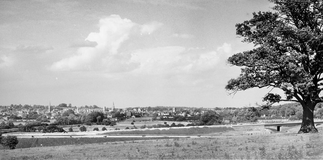
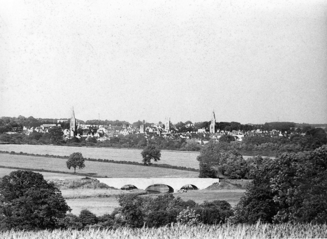
The pictures include views of an unpedestrianised High Street, car-free roads and many other period details. ​Click on the pictures below for larger versions of the images.

Ellis Miles was born in Stamford in 1919. After service as a sapper in the Second World War, he qualified as an architect and spent most of his career as an industrial designer. He worked on the Festival of Britain, taught at Leeds College of Art and then was in charge of British Rail's corporate design, everything from lettering to the interiors of railway carriages. He retired to Easton-on-the-Hill in 1981.

He was a founder member of the Society, editing its newsletter and working with the London Civic Trust. He died in 2006.
Garden façade of Austin House, 4 Austin Street
Front doorway and steps of Austin House, 4 Austin Street
Front façade of Austin House, 4 Austin Street, with houses either side
View from All Saints' tower west towards Easton
View from All Saints' tower south towards the Meadows (1960)
View north up All Saints' Place and Barn Hill from All Saints' Church
View across the millstream from the point of the Meadows towards St Mary's Church (enlarged detail)
View across the millstream from the point of the Meadows towards St Mary's Church
View across the millstream towards Bath Row east showing the Barn restaurant and the rear of St Mary's Street
Bath Row west including the bath house and the corner of Castle Dyke (1962)
Bath Row west including the bath house and the corner of Castle Dyke (enlarged detail, 1962)
View from the garden of Austin House south-east (1966)
View over the River Welland from the Meadows towards St Mary's Passage
View from the Town Bridge towards the Meadows
View of Bath Row from the Meadows
View over the River Welland towards the rear of St Mary's Street
Ministry of Labour offices in Broad Street
Looking east along Broad Street showing the Friday market
Looking west along Broad Street showing the Friday market
44-50 East Street
Freeman's Cottages, Melancholy Walk (said to have been built by a radical benefactor for tenants turned off Burghley Estate!), before conversion into two houses
High Street, looking east from no 10 before pedestrianisation
High Street, looking east from no 14 before pedestrianisation
High Street, looking east from the Library before pedestrianisation
High Street, looking east from no 52 before pedestrianisation
East end of the High Street, looking west, before pedestrianisation
Looking north up Ironmonger Street, before pedestrianisation
High Street, looking east from the Library/no 52, before pedestrianisation
High Street, looking west from no 21, before pedestrianisation
(not identified)
High Street, looking west from no 11/12, before pedestrianisation
High Street St Martin's, looking south towards St Martin's Church
Top end of High Street St Martin's, nos 39-42
Red Lion Square looking south towards nos 6 & 7
Looking east along Rutland Terrace from no 20
St George's Square, looking north, showing the front of St George's Church (photo by School of Design, Leeds College of Art)
Entrance to St Mary's Street from St George's Square (1963)
St Mary's Hill from the Town Hall steps with sign supended from the "gallows" advertising The George hotel, later replaced following public protest
View west along St Mary's Street from the Arts Centre
View west along St Mary's Street showing north side
Looking east along St Mary's Street with St Mary's Church and the Stamford Hotel
Stamford from Easton-on-the-Hill, showing the newly-built A1 bypass
Looking west along St Peter's Street from the Stamford Institution
Looking east along St Peter's Street from the Stamford Institution, showing the junction with All Saints' Street and Sheepmarket.
Looking east along St Paul's Street showing houses on the north side
Stamford School, St Paul's Street, showing party of the school chapel
Brazenose Gate, St Paul's Street
Brazenose Gate knocker, St Paul's Street
Lumby's Terrace, showing the pair of houses at the entrance, looking north (without linking bridge)
Aerial view, possibly from St Martin's Church, looking north, showing the entrance to Lumby's Terrace
7 Wothorpe Road
Panorama taken from the Meadows, looking north-east over the town
St Martin's Church, south side, possibly from Stamford High School science laboratory
Ruins of Wothorpe Towers
A1 under construction, looking east over the town
Looking east over the town from Wothorpe/Easton-on-the-Hill
Site of the A1 under construction, looking east over the town (1960)
Looking from Wothorpe fields across the newly-built A1 bypass towards the town
View of the town from Wothorpe/Easton-on-the-Hill
Wide panorama showing newly-constructed A1 and bridge (1960)
Two joined images looking north, with St Martin's Church in the foreground
About the Society
Join us
Coming events
​Projects

Publications
​​Newsletters
Annual Review
Archives
Stamford heritage
Plaques in Stamford
William Stukeley
Browne's Hospital
The Priest's House
Stamford Mercury Archive

Contact us
Acknowledgements
Privacy policy

This website is archived in the
Internet Archive WayBackMachine
Copyright © 1962-2024 Stamford Civic Society
Registered charity no. 242571
Picture

a member of 
Civic Voice

Find us elsewhere:
Picture
Picture
Twitter
Picture
Facebook